 TopoKin
Getting started
Five minutes, with signal, before you need it. TopoKin's maps and radio setup are for the United States (where it works).
Setting TopoKin up for your kin? You're the organizer: follow steps 1 and 2 here, then go to For the organizer to create your group, invite everyone and set up radios.
1. Install
TopoKin is for Android. Open the download page on your phone and tap Download. Android asks whether to allow installing apps from your browser: allow it, then install.
Updates come by themselves: when there's a new version, TopoKin shows a small Update bar at the top of the map.
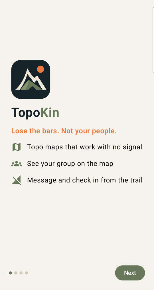
2. First start
TopoKin asks for two things:
- Your name, as your kin will see it.
- Location ("While using the app" is enough) and notifications, so you get messages and alerts.
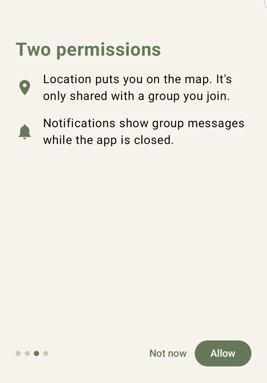
If you tapped Don't allow by mistake, tap Open settings on that screen and allow Location for TopoKin.
3. Join your group (or start one)
Whoever set up your group sends you an invite: a QR code to scan with your phone's camera, or a link. Open it, and TopoKin opens with the invite filled in. Check your name and tap Join.
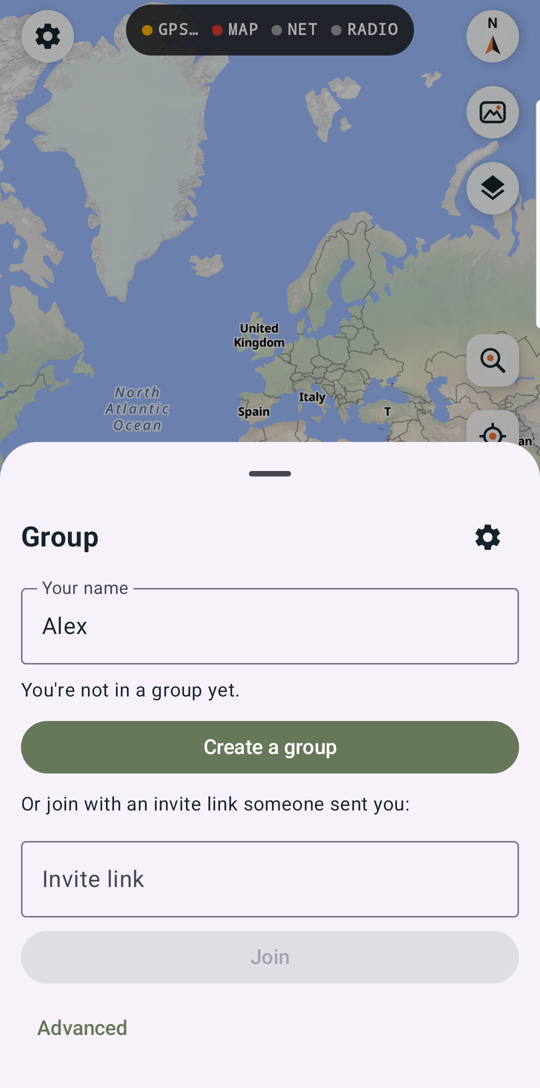
Within a few seconds the Group panel shows who's in the group. People appear on your map once they share a position.
An invite works once and expires. If it says it didn't work, ask for a new one and tap Use a different invite.
No one has made a group yet? Then you're the organizer: tap Create a group on the same screen and see For the organizer to invite everyone.
4. Get maps for where you're going
Maps download per square (about 15 miles across) and work with no signal.
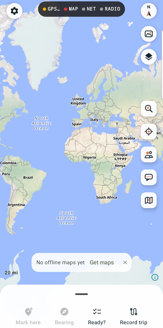
- Move the map to where you're going.
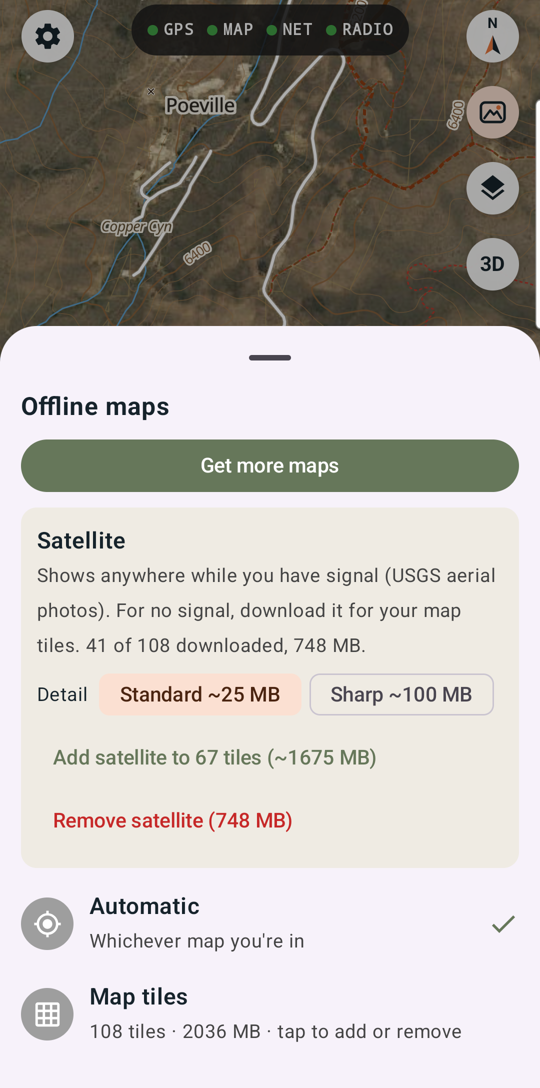
- Tap the Maps button on the right side, then Get more maps.
- Tap the squares you want (they turn blue), or Fill around to add the ones next to them, then Get.
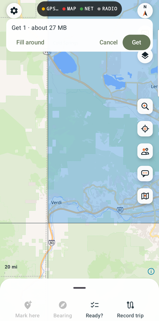
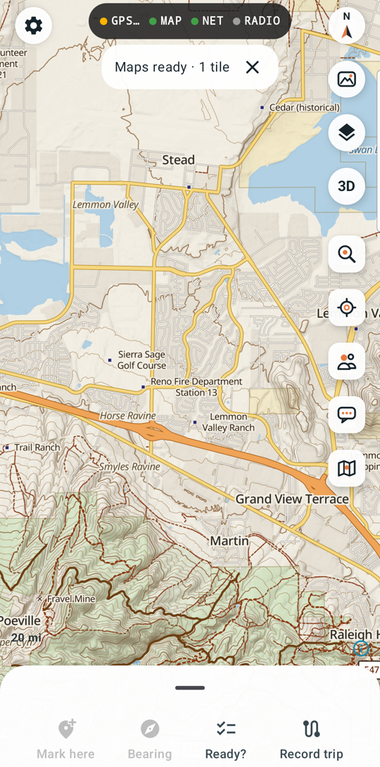
Each square is built for you the first time, then downloads in a minute or two. The pill at the top shows progress. Want satellite photos with no signal too? In Maps, tap Add satellite.
5. Ready to go?
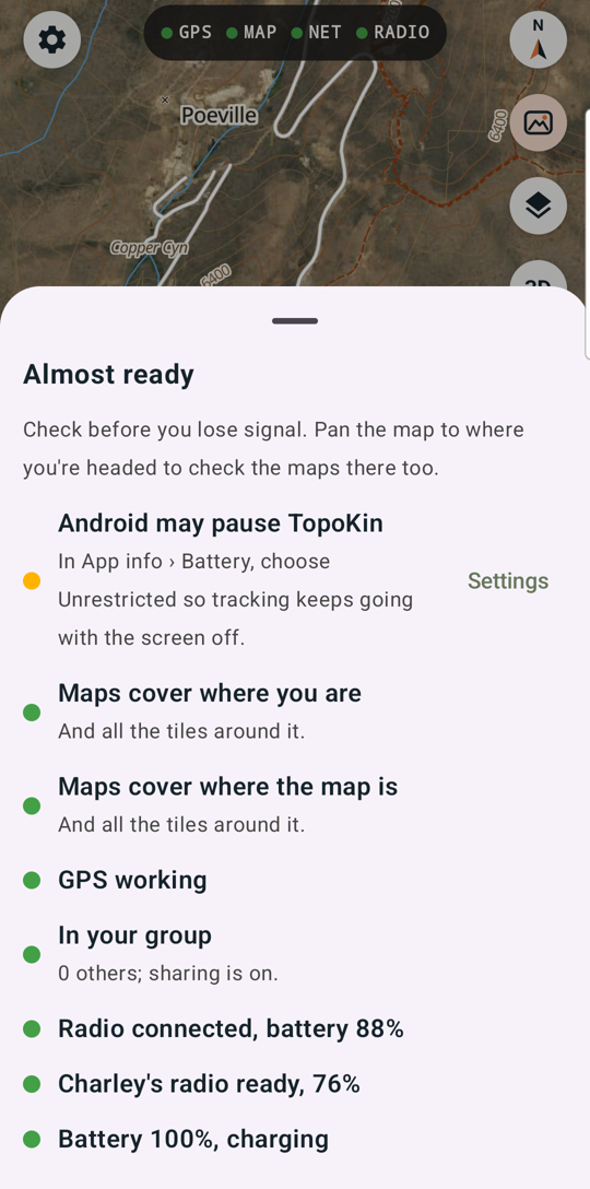
Before you leave signal, tap Ready? at the bottom of the map. It checks your maps, GPS, group, radio, phone battery, and each tracker radio, and tells you what to fix while you still can.
The screen at a glance
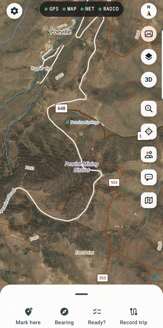
| Where | What |
|---|---|
| Top middle | Status lights: GPS, MAP (offline map here), NET (internet), RADIO. Green is good; tap for details. |
| Top left | ⚙ Settings |
| Top right | North-up compass, satellite on/off, Map layers, 3D |
| Right side | Find, Center on me, Group, Messages, Maps |
| Bottom | Mark here, Bearing, Ready?, Record trip. Swipe up for your position, your kin and trackers. |
Next: On a trip.